100 PÁGINAS / PAGES
Antarctica, the Last Frontier
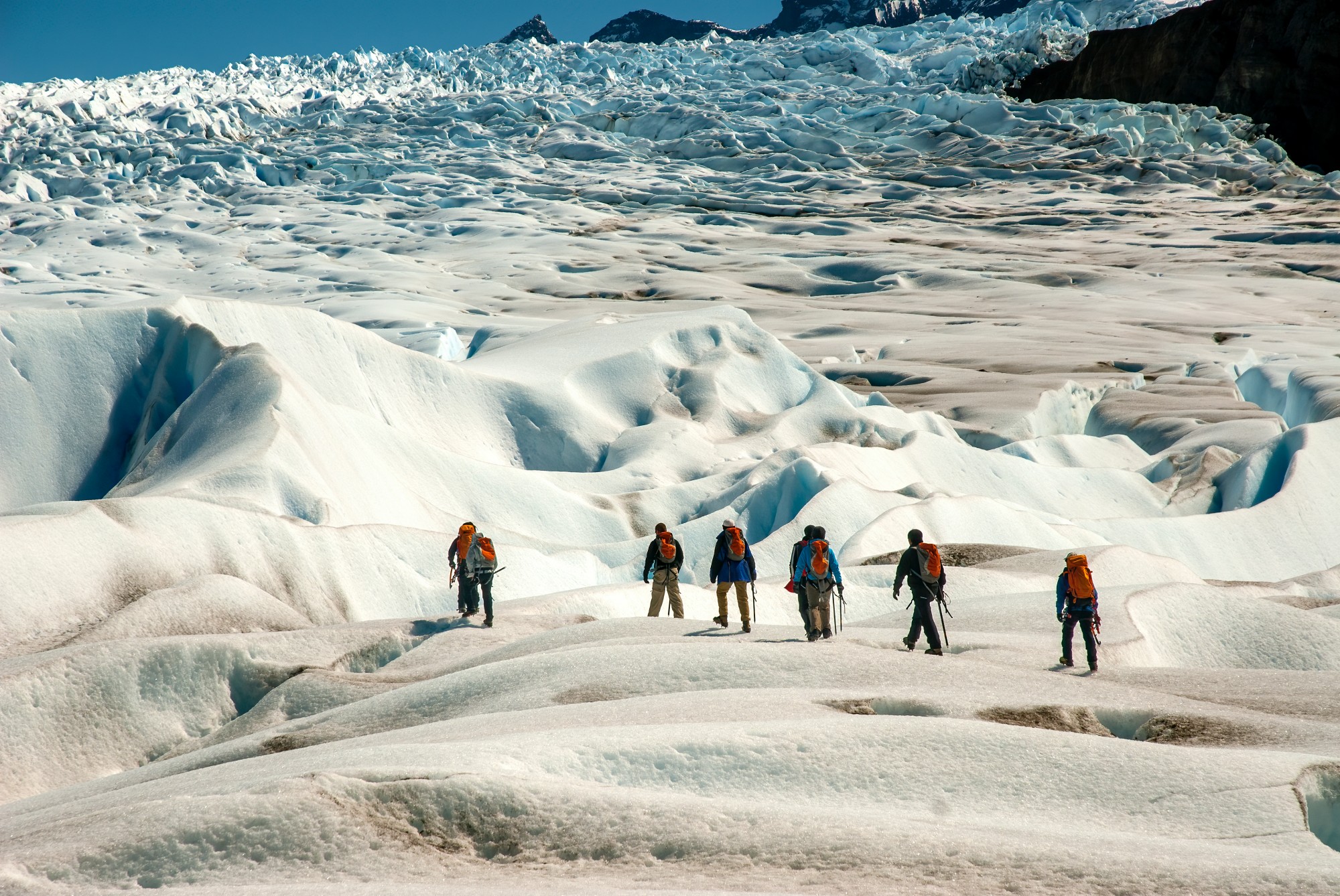
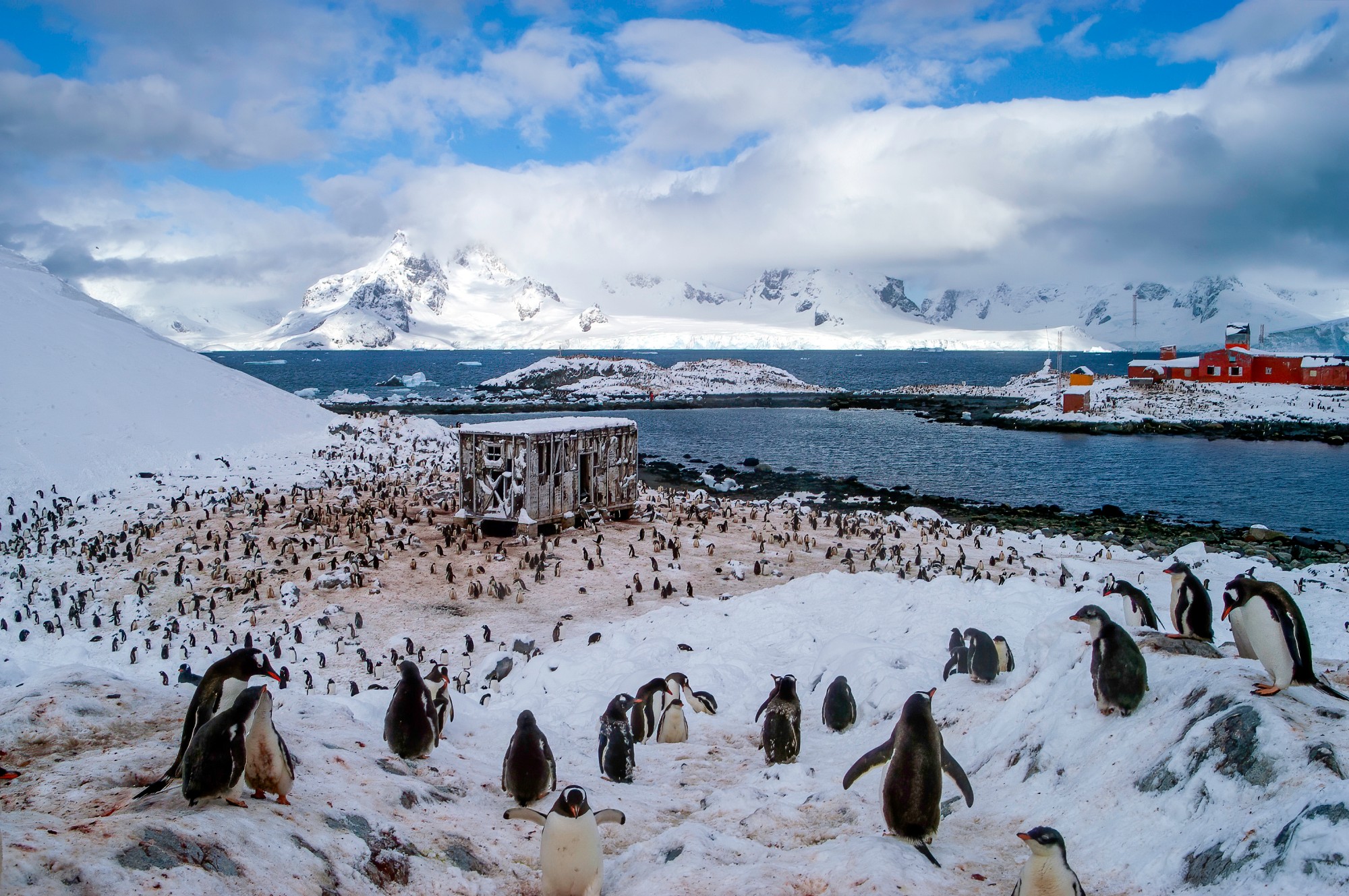
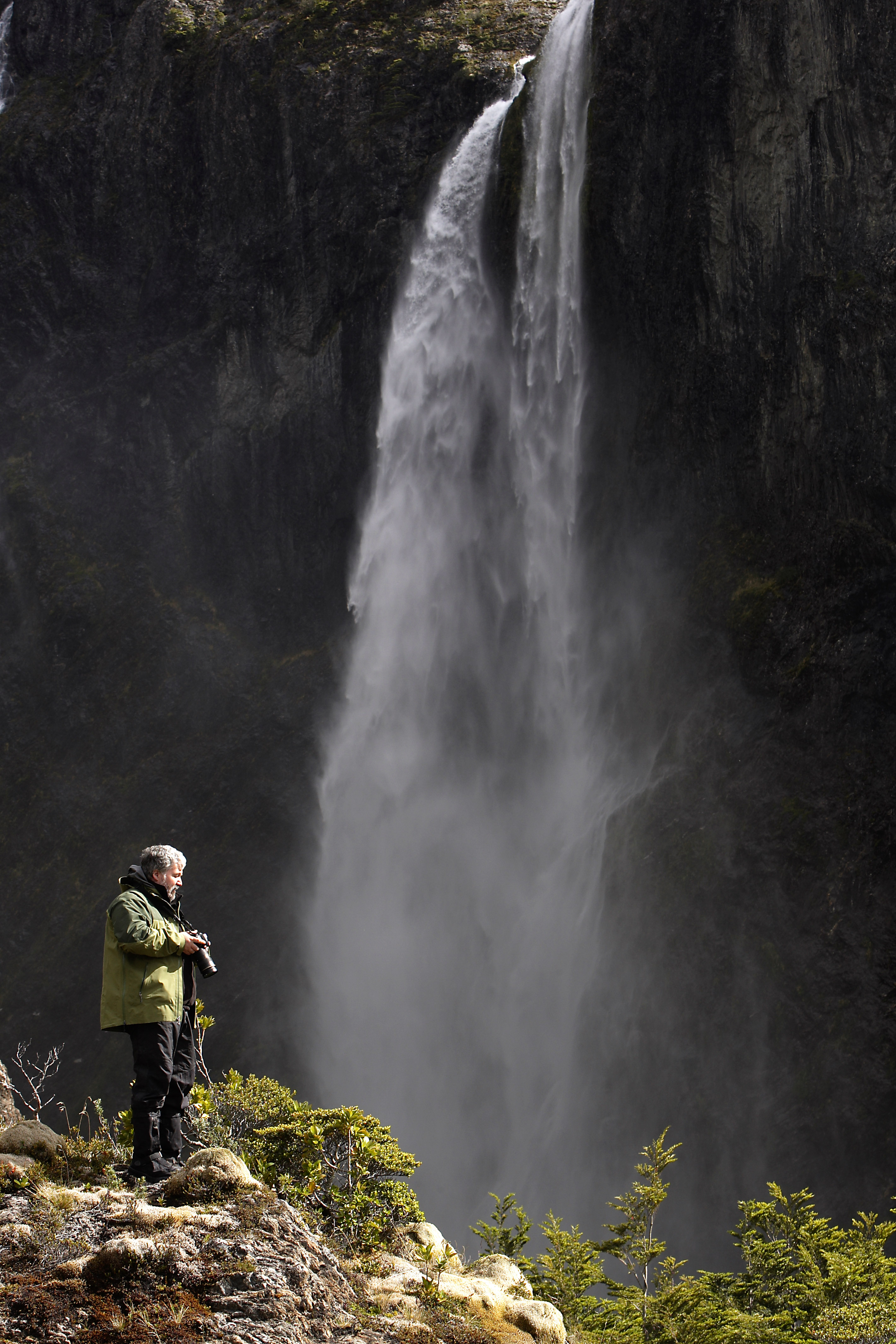
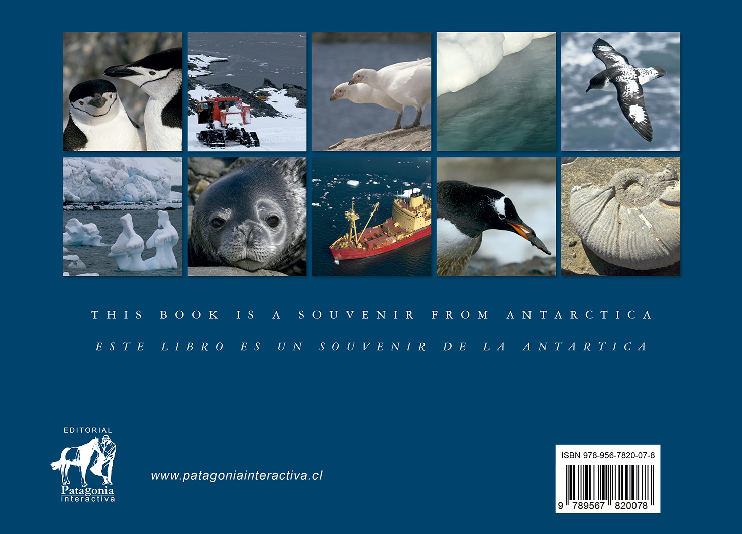
Un registro honesto de la Península Antártica. A través de 100 páginas, recorremos desde el Canal Beagle hasta la Isla James Ross, documentando la magnitud de la última frontera. Es un privilegio observar y compartir la geografía de estos parajes remotos.
An honest record of the Antarctic Peninsula. Throughout 100 pages, we journey from the Beagle Channel to James Ross Island, documenting the magnitude of the last frontier. It is a privilege to observe and share the geography of these remote landscapes.
116 PÁGINAS / PAGES
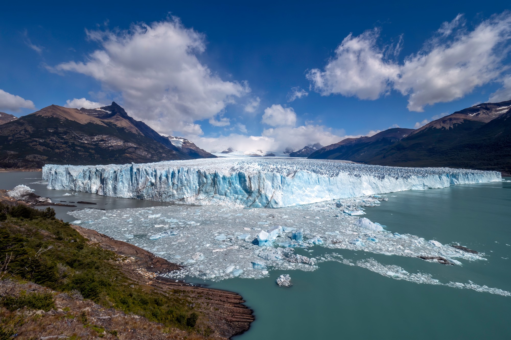
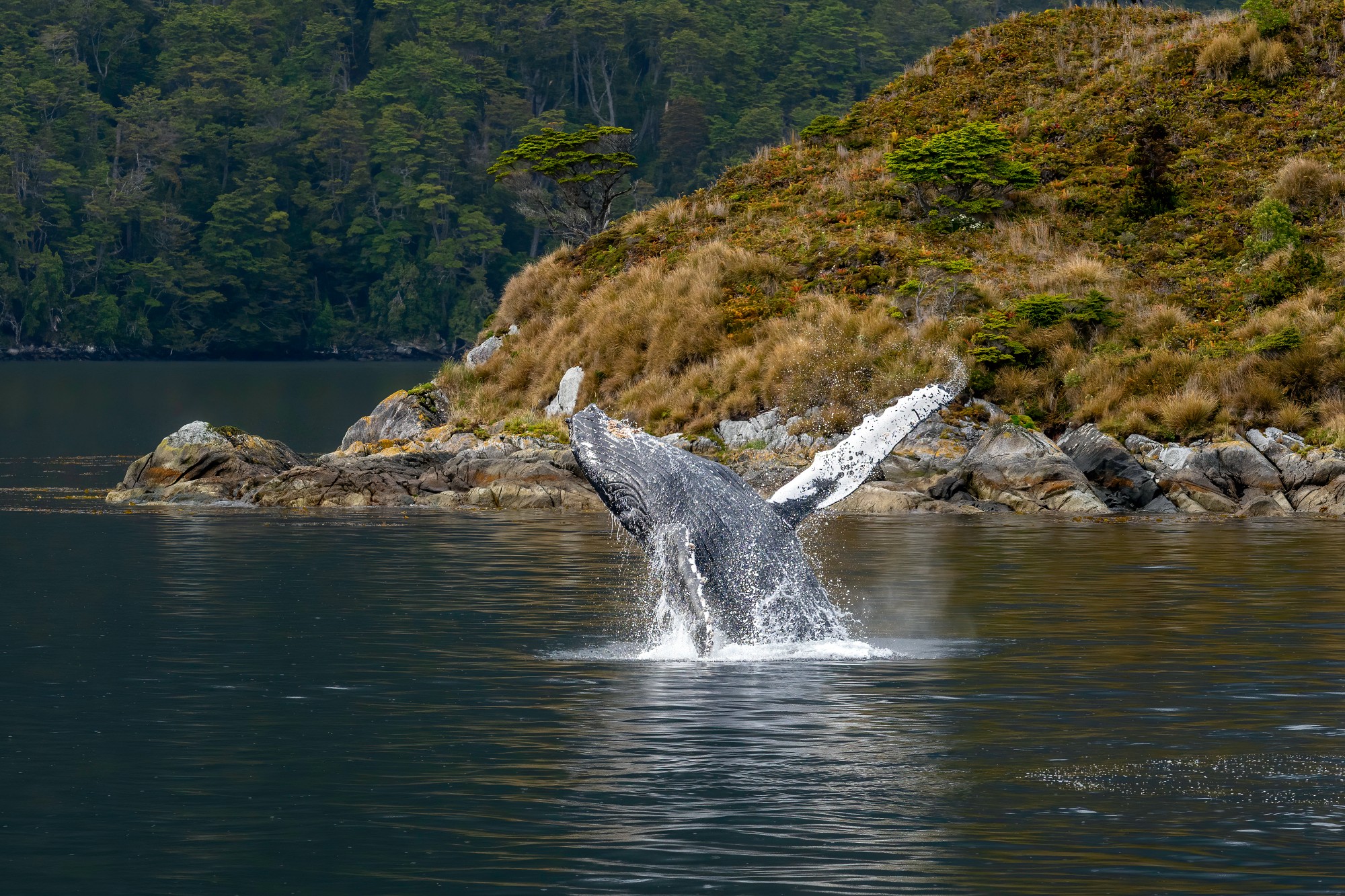
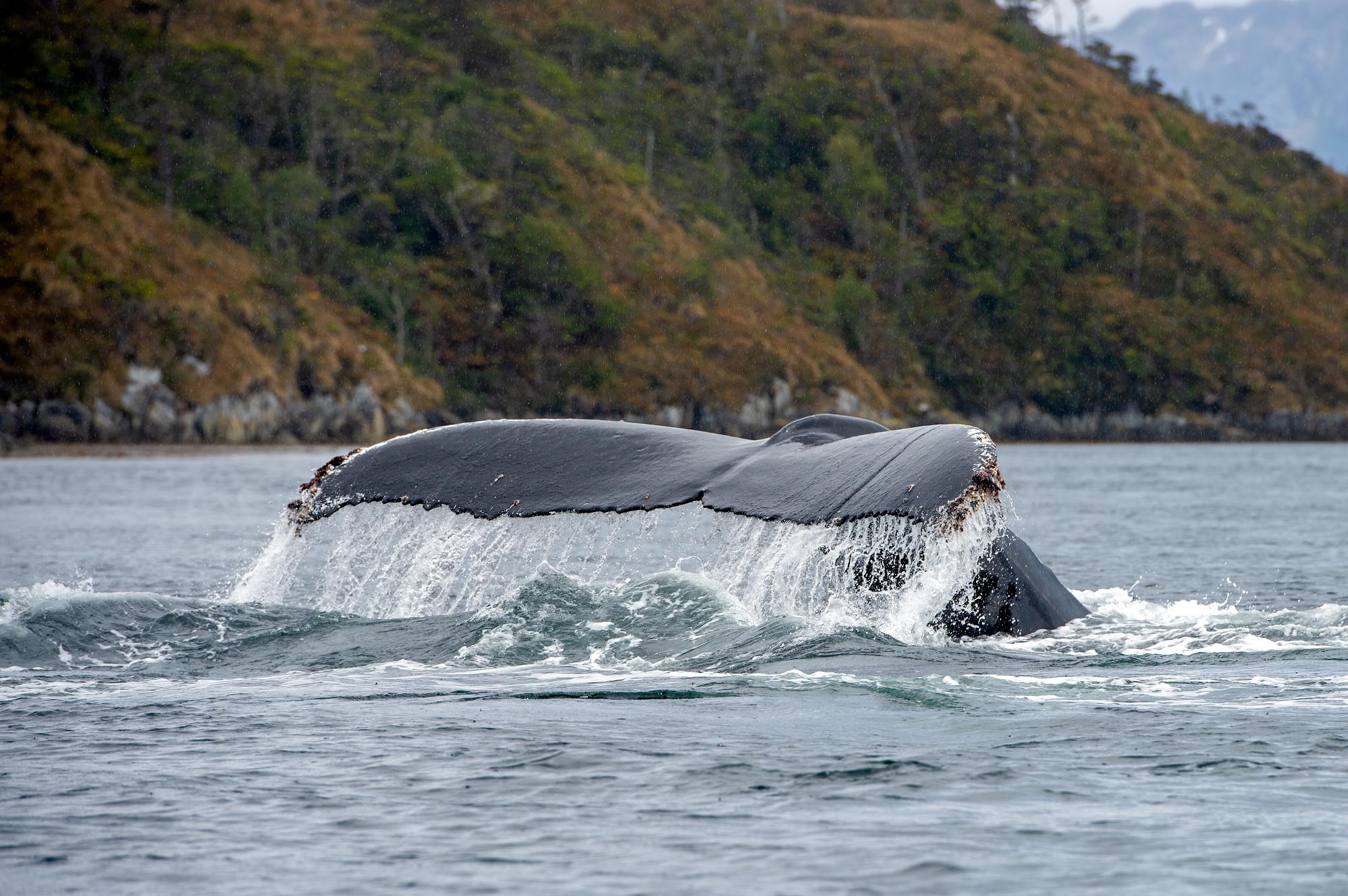
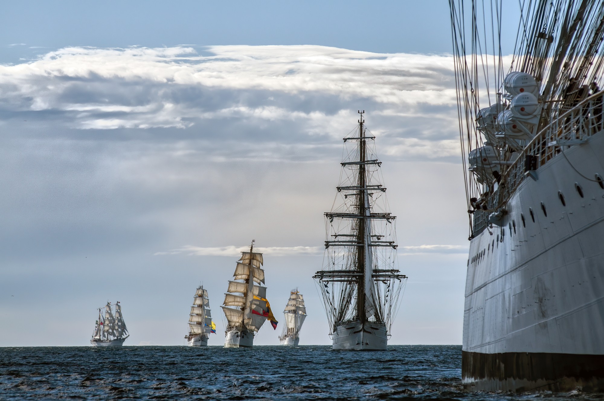
Strait of Magellan, Beagle Channel & Cape Horn
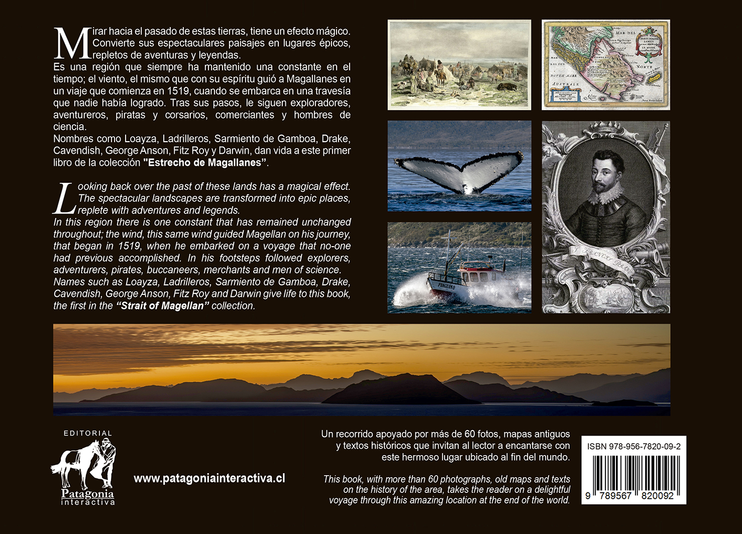
Un viaje por la historia y el paisaje. Este volumen de 116 páginas explora las rutas de navegantes como Magallanes, Fitz Roy y Darwin. Un recorrido épico donde el viento y la geografía han forjado leyendas durante siglos.
A journey through history and landscape. This 116-page volume explores the routes of navigators such as Magellan, Fitz Roy and Darwin. An epic journey where wind and geography have forged legends for centuries.


FOTOGRAFÍA / PHOTOGRAPHY
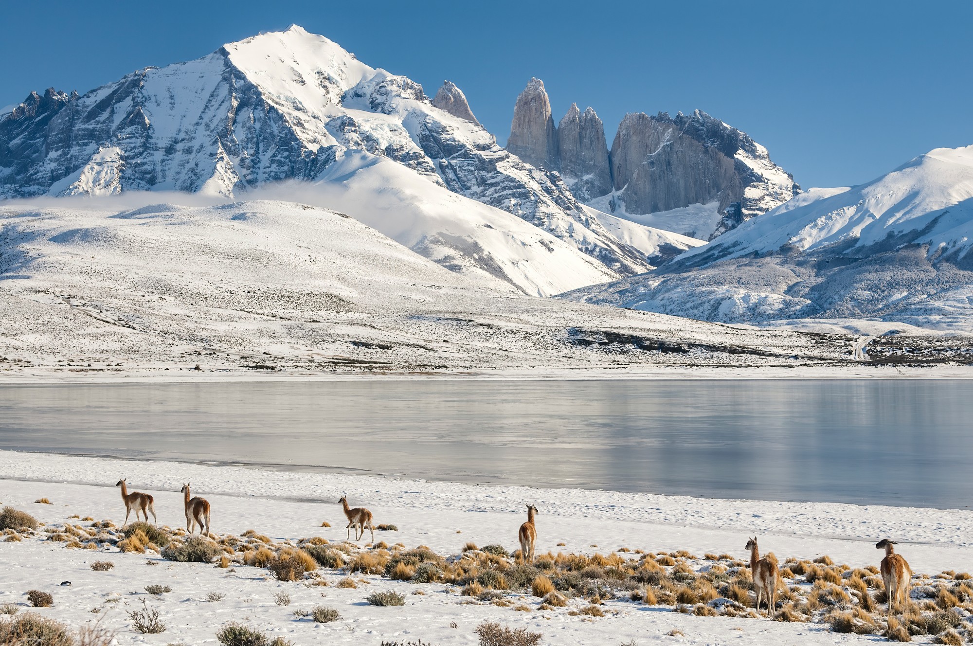
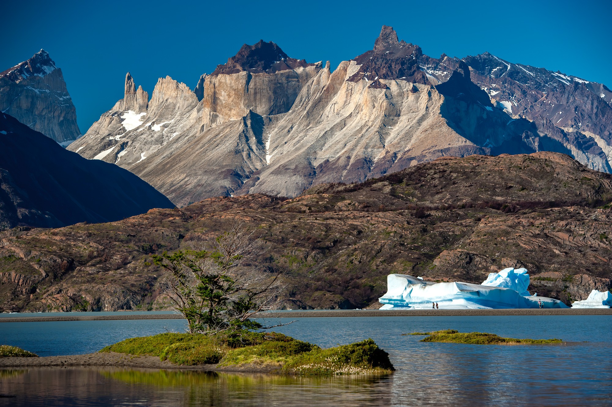
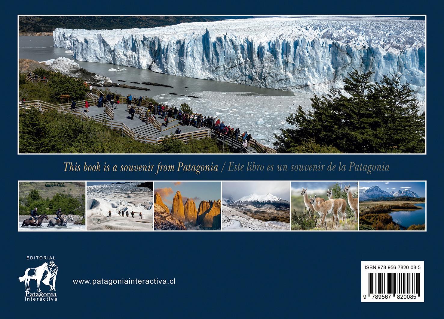
Patagonia, Landscapes of Torres del Paine
La fuerza visual del Parque Nacional Torres del Paine y sus alrededores. Fotografías que buscan retratar la naturaleza en su estado más puro, sin artificios, enfocándose en la luz y la composición de un paisaje único en el mundo.
The visual strength of Torres del Paine National Park and its surroundings. Photographs that seek to portray nature in its purest state, without artifice, focusing on the light and composition of a landscape unique in the world.
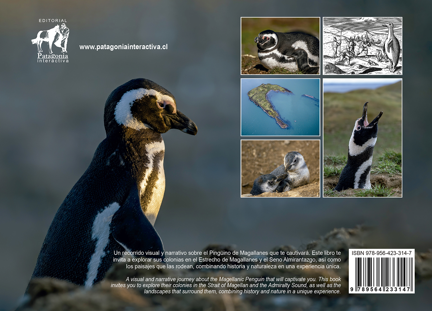
88 PÁGINAS / PAGES
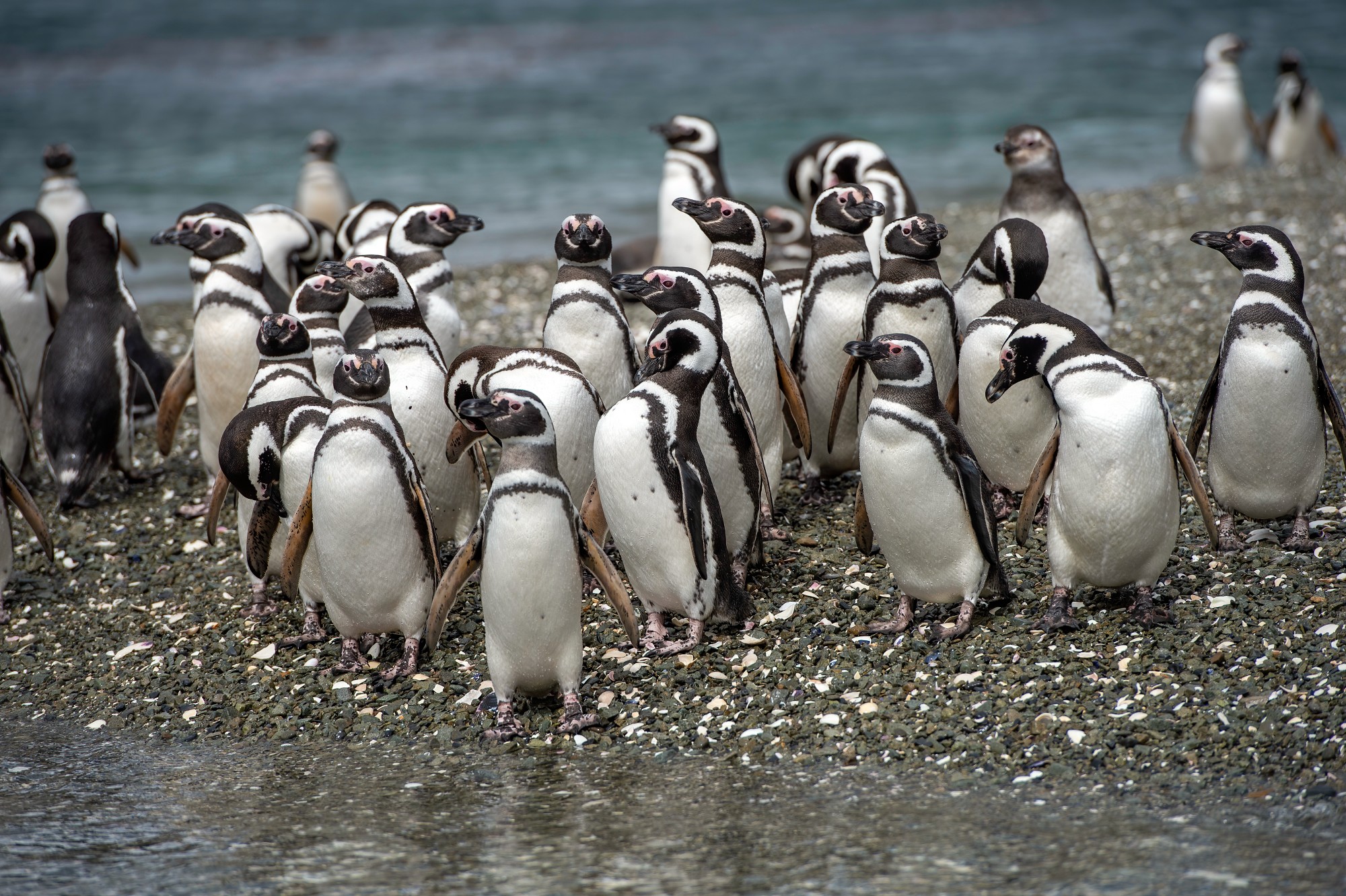
Pingüino de Magallanes
Un estudio visual de las colonias en el Estrecho de Magallanes y el Seno Almirantazgo. 88 páginas dedicadas a la vida de esta especie y su entorno natural, combinando observación técnica y sensibilidad artística.
A visual study of the colonies in the Strait of Magellan and Admiralty Sound. 88 pages dedicated to the life of this species and its natural environment, combining technical observation and artistic sensitivity.